
LAGOS MARKS 2026 GIS DAY AS SANWO-OLU UNVEILS ABAT III eGIS DATA CENTRE
Read Time:2 Minute, 13 Second
By ‘Balogun Ibrahim
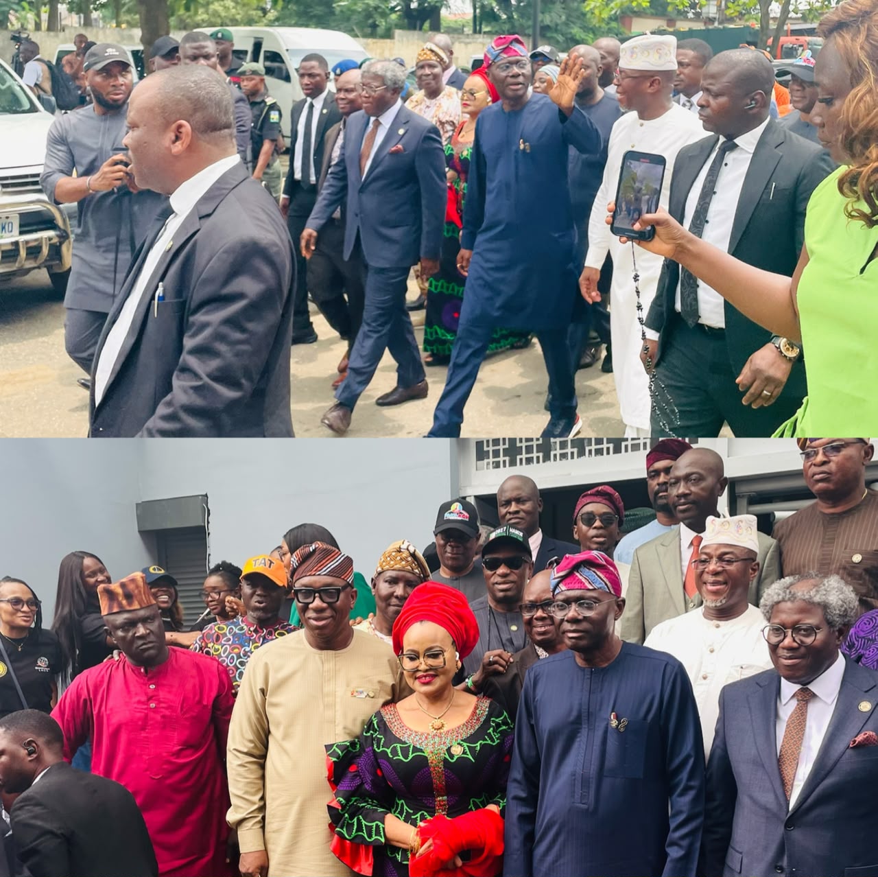
Lagos State Governor, Babajide Sanwo-Olu, has unveiled the Bola Ahmed Tinubu III Enterprise Geographic Information System (eGIS) Data Centre at the Lagos State Geographic Information Service (LAGIS) Building in Alausa, Ikeja.
The facility is designed to strengthen the state’s capacity to create, manage and utilise spatial information for land administration, urban planning, infrastructure development and other aspects of governance.
The unveiling marks another step in Lagos State’s drive towards a more digitally driven system of land administration and urban development, with geospatial data playing a central role in planning and decision-making.


Speaking at the event, the Special Adviser to the Governor on eGIS and Urban Development, Dr. Olajide Abiodun Babatunde, said the institutionalisation of LAGIS would provide a stronger framework for managing spatial information across the state.
“The institutionalization of LAGIS represents an important step in bringing this work together and establishing a stronger framework for the way Lagos creates, manages and uses spatial information,” Babatunde said.
He explained that the development was not merely about establishing another government facility but about creating a coordinated system through which spatial data could support government planning and service delivery. The eGIS initiative has been central to Lagos State’s efforts to modernise land administration, with the government working towards the digitization and integration of spatial information across relevant ministries, departments and agencies.
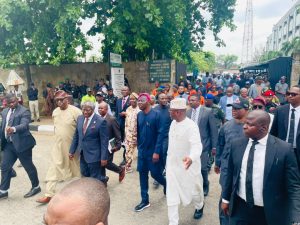
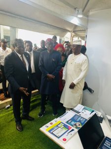
According to Babatunde, the state’s eGIS programme has involved the development of digital mapping infrastructure, spatial-data systems and technology-driven platforms aimed at improving the management of land and other resources. The LAGIS framework is also expected to facilitate greater coordination among agencies involved in land administration, physical planning, surveying, valuation and other urban-development functions.
Earlier discussions around the institutionalization of LAGIS indicated that the service is intended to provide a computerized and harmonized central database for land administration processes in Lagos State. The proposed framework was also expected to support areas such as property valuation, taxation, urban and rural planning, transportation, boundary resolution and infrastructure development.
The new data centre therefore represents a significant component of Lagos’ broader digital transformation agenda, providing infrastructure for the storage, management and application of geospatial information. The LAGIS facility itself has been described as an important component of modern land administration and urban planning in the state, reflecting the growing role of data in government decision-making.
With the unveiling of the Bola Ahmed Tinubu III eGIS Data Centre, the Lagos State Government is seeking to further institutionalise the use of spatial data in governance while improving the coordination, accessibility and application of information required to plan and manage one of Africa’s largest urban centres.


Happy
0 %

Sad
0 %

Excited
0 %

Sleepy
0 %

Angry
0 %

Surprise
0 %
 0
0
 0
0